Power & Gas Transmission | 4 Rivers Surveying | Full Service Land Surveying
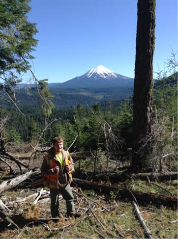 Field to Finish Transmission Surveying
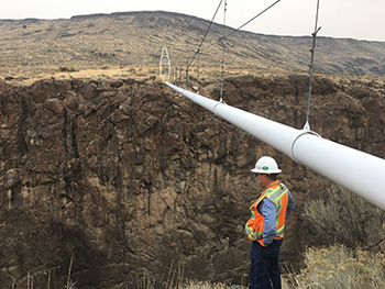
4 Rivers Surveying has provided services for many very large companies in the energy sector. Large scale linear projects are our specialty. Linear corridor surveying services include; control networks, base mapping, easement documentation, pipeline routing and re-routing, design topographic surveys, underground utility location surveys, construction staking, smart tool tracking, and as-built surveys.
We also team with other professionals to
provide the following services; infrastructure engineering design, aerial mapping, Lidar mapping, GIS data bases, and inventory surveys.
Contact us for questions about our services: crm6901@hotmail.com
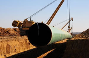
 4 Rivers Surveying Inc. provides all aspects of surveying and data collection for operators to be compliant with the PIPES Act of 2016. Our staff is PHMSA compliant and certified pipeline locators. We have experience providing services to operators for underground pipeline location surveys including depth of cover. All the data we provide will be compatible to download into any GIS platform. Our location and survey crews gather all the needed and required data at the highest level of accuracy and precision. Large scale projects are our specialty. We will take any project large or small.