Geospatial Scanning | 4 Rivers Surveying | Full Service Land Surveying
Lidar Scanning and Mapping
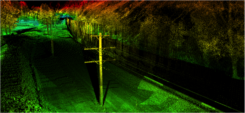
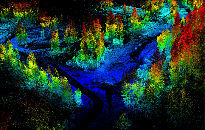
4 Rivers Surveying Inc. uses the latest in mapping technology to provide the highest quality services to our clients. We can deliver the highest accuracy in mapping available. Scanning technology combined with supplemental conventional surveying techniques will complete the mapping service.
Some of the following disciplines have used and can benefit from our services; Asset management mapping, infrastructure mapping, highway mapping, transportation, environmental mapping, and quantity surveys.
If your work site has a high level of detail that needs mapped, we are your go to place. Power substations, oil or gas refinery, or any site with many details can be mapped. We can provide a base map for asset management applications as well.
State highway departments and any infrastructure which has a high amount of detail to manage can benefit from a base map scan. Design engineers can use this same 3D topographic service for their plans.
Click to enlarge images:
Contact us for questions about our services:
crm6901@hotmail.com or by phone at:1-855-477-6901.